
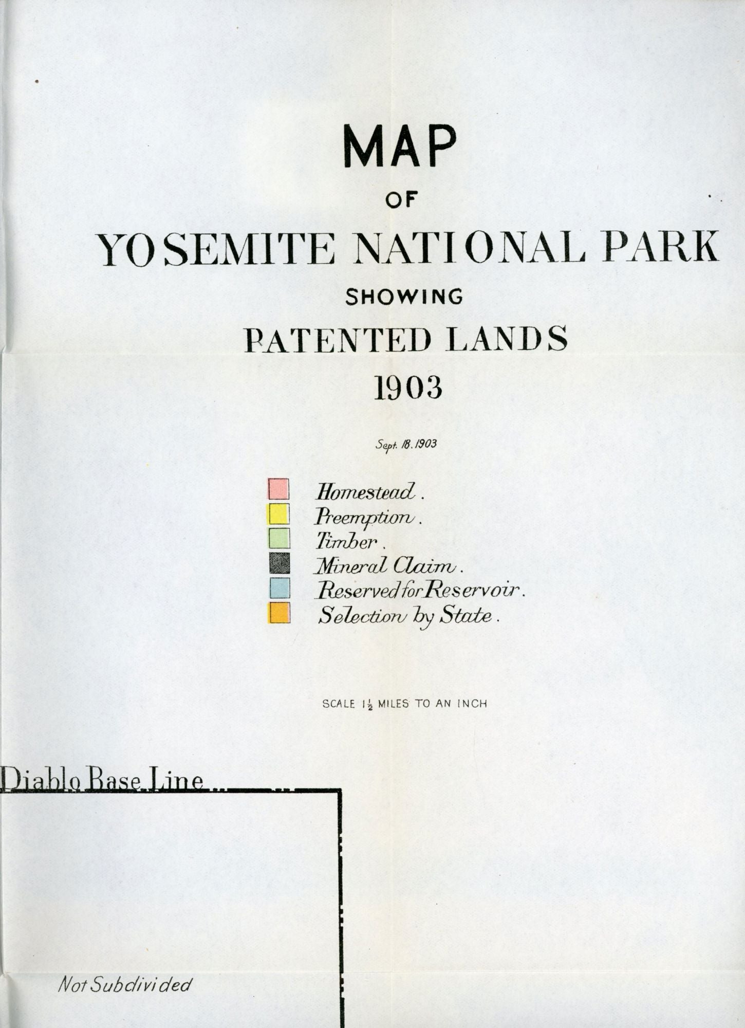
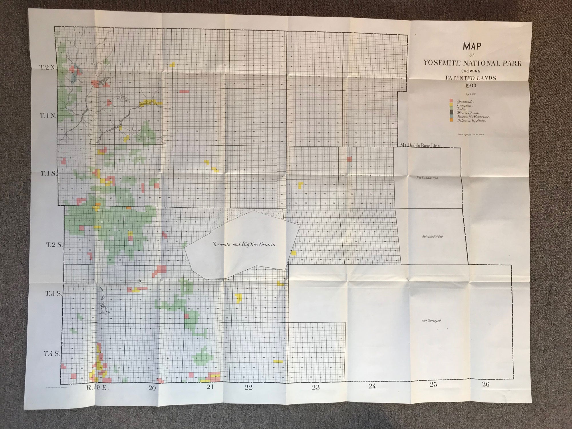
Map of Yosemite National Park showing patented lands 1903 Sept. 18, 1903 ... Scale 1 1/2 miles to an inch. Washington, D. C. The Norris Peters Co., Photo-Litho., 1903. Map. 68.8 x 89.5 cm (including borders). A large map color coded to show various types of patented lands: Homestead, Preemption, Timber, Mineral Claim, Reserved for Reservoir, and Selection by State. A large eastern region south of the Mt. Diablo Base Line is marked "Not Subdivided" and "Not Surveyed." Two tiny tears along one fold, else fine. (#164826).
Printing identification statement for this book:
"Coming Soon"
"Coming Soon"