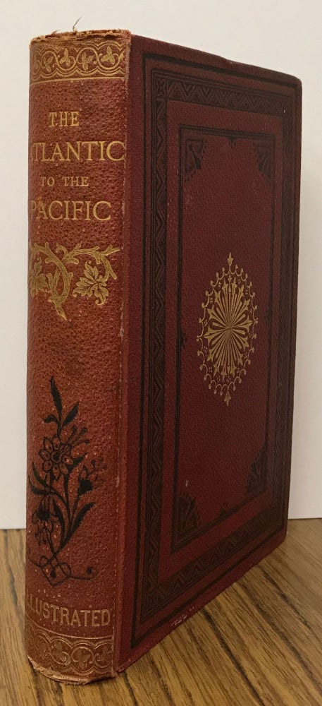
The Atlantic to the Pacific. What to see and how to see it. By John Erastus Lester ... With map and illustrations. London: Longmans, Green, and Co., 1873. 17x11.5 cm, pp. [1-2: blank] [i-vii] viii [ix] x-xii [xiii-xiv] [1] 2-293 [294-296: blank], 6 inserted plates, 2 inserted maps, one folded, original decorated terra cotta pebbled cloth, front and spine panels stamped in gold and black, rear panel stamped in blind, all edges gilt, cream coated endpapers. First British edition. The best edition of Lester's account of his trip to the Pacific Coast. The account of his visit to Yosemite Valley and the Mariposa and Tuolumne big tree groves in June 1872 comprises pages 131-171. Lester was a perceptive and knowledgeable observer and his concise and literate narrative is of considerable interest. Many of Yosemite's pioneer inhabitants are mentioned -- among them Clark, Lamon, Hutchings, and Muir. Lester spent an evening with Muir discussing geological theory. The appendices, pages [243]-285, comprise "The Routes to the Yo-Semite," "Table of the Elevation of Peaks and Passes in the Sierra Nevada Mountains," "Mountains Around the Yo-Semite Valley," "The Waterfalls," "The Yo-Semite Declared a National Park," "Hetch-Hetchy Valley," "Trees and Plants Growing in and Around the Yo-Semite Valley," "History of the Discovery and Settlement of the Yosemite Valley," "Origin of the Name Yo-Semite," "The Discovery of Gold in California," "The Pacific Railroads and the Land Grants," "The Mining Towns of California," "Trees and Plants of the Rocky Mountains," "Table of Altitudes in Colorado," "Colorado. -- Weather Record at Denver 1872," and "History of Mining in Colorado." The two maps are "Map Showing the Lines of Rail between the Atlantic and Pacific," a folded map, drawn by Edward Weller, engraved by Longmans & Co. and printed in blue and black, and "Map of the Yo-Semite Valley," drawn by Edward Weller and engraved by Longmans & Co., based on the California Geological Survey map of 1865. See Currey and Kruska 237. See Farquhar 13. Cloth lightly worn at spine ends and corner tips, a very good copy. This edition is quite scarce. (#166198).
No statement of printing.


