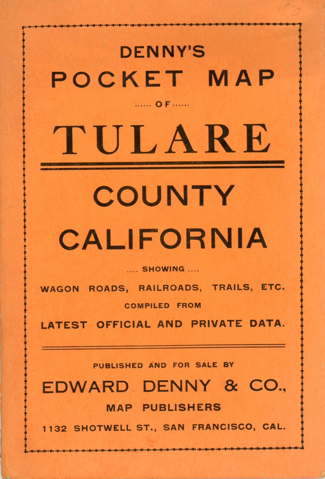
![(#166449) Denny's pocket map of Tulare County California showing wagon roads, railroads, trails, etc. compiled from latest official and private data. Published and for sale by Edward Denny & Co., Map Publishers[,] 1132 Shotwell St., San Francisco, Cal. [cover title]. DENNY, . MAP PUBLISHERS CO, EDWARD.](https://lwcurrey.cdn.bibliopolis.com/pictures/166449.jpg?width=768&height=1000&fit=bounds&auto=webp&v=1682013686)
![Denny's pocket map of Tulare County California showing wagon roads, railroads, trails, etc. compiled from latest official and private data. Published and for sale by Edward Denny & Co., Map Publishers[,] 1132 Shotwell St., San Francisco, Cal. [cover title].](https://lwcurrey.cdn.bibliopolis.com/pictures/166449_1.jpg?auto=webp&v=1682013687)
Denny's pocket map of Tulare County California showing wagon roads, railroads, trails, etc. compiled from latest official and private data. Published and for sale by Edward Denny & Co., Map Publishers[,] 1132 Shotwell St., San Francisco, Cal. [cover title]. San Francisco, Cal. Edward Denny & Co., Map Publishers, 1132 Shotwell St., [1911]. Single sheet, 52.8x70.1 cm (20.8x27.6 inches), folded into orange wrappers printed in black, 16x10.8 cm (6.4x4.4 inches). Pocket map, printed in blue ink, showing Tulare County, California, divided into townships, and identifying wagon roads, railroads and trails, the boundaries of Sequoia National Park, the Tule River Indian Reservation, and other features. The map is in fine condition. (#166449).
No statement of printing.