![(#166734) Sequoia National Forest[.] U. S. Department of Agriculture Forest Service California Region [cover title]. UNITED STATES. DEPARTMENT OF AGRICULTURE. FOREST SERVICE. CALIFORNIA DISTRICT.](https://lwcurrey.cdn.bibliopolis.com/pictures/166734.jpg?width=768&height=1000&fit=bounds&auto=webp&v=1682014885)
![Sequoia National Forest[.] U. S. Department of Agriculture Forest Service California Region [cover title].](https://lwcurrey.cdn.bibliopolis.com/pictures/166734_1.jpg?auto=webp&v=1682014885)
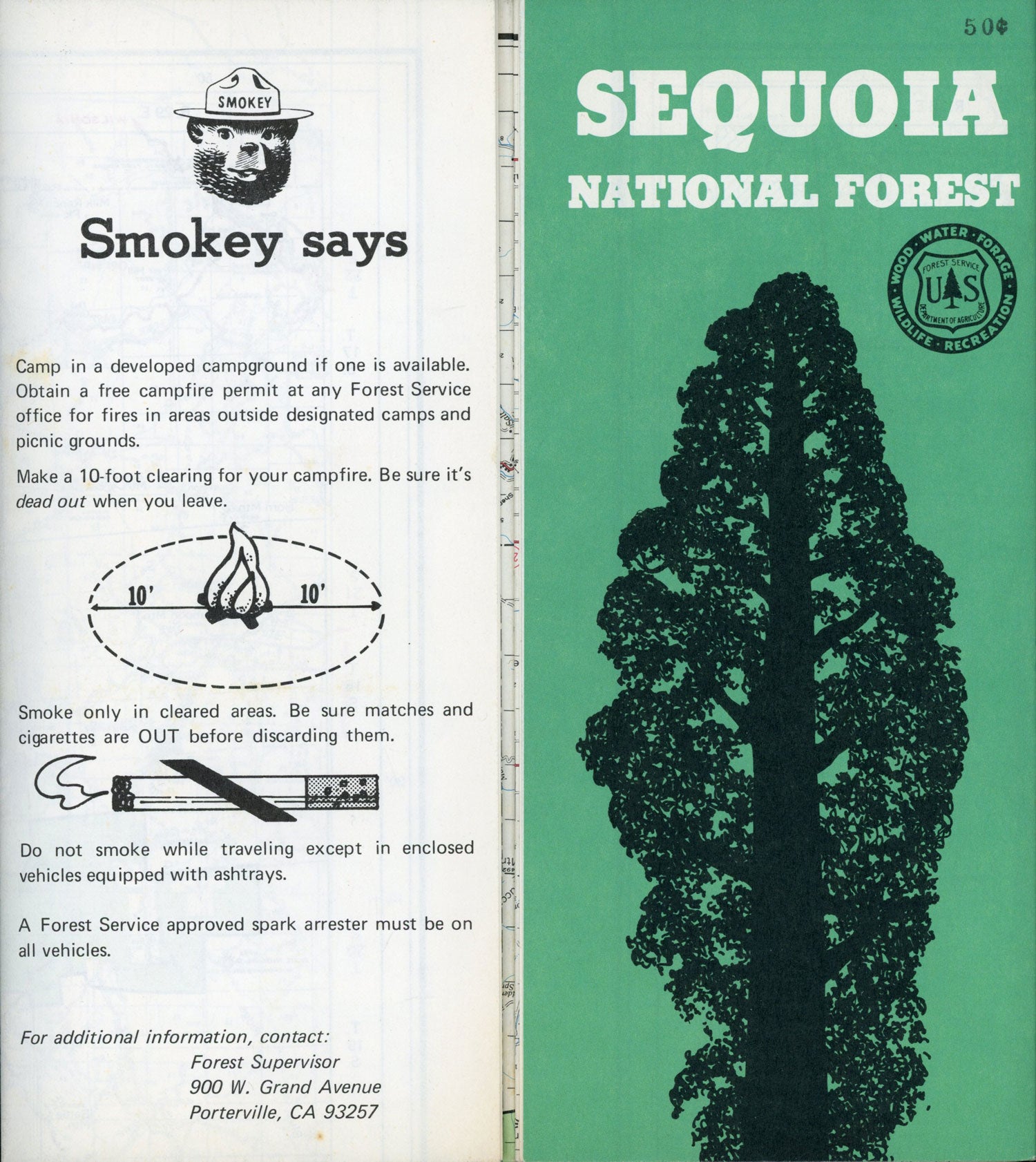
Sequoia National Forest[.] U. S. Department of Agriculture Forest Service California Region [cover title]. N.p., n.d. [1975?]. Single sheet 92x60 cm (36x24 inches), folded to 48 panels 23x10 cm (9 x 4 inches). 5 illustrations from photographs and several drawings. Largely a two-part map printed in red, green, blue, the northern part on recto with brief text, mostly providing information on "areas where motor vehicle use is limited" and "areas where recreation use is restricted," the southern part on the verso with no text. The map on the recto is not titled, the large map on verso, scale 1/2 inch = 1 mile, is titled "Map Showing Motor Vehicle Control Area Sequoia & Inyo National Forests U. S. Department of Agriculture -- Forest Service California 1975." It shows the forest south from Mineral King, including the Dome Land Wilderness. The roads and trails include the "temporary location Pacific Coast Trail." Sequoia National Forest was established in 1908 and covers an area of 1864 square miles. Small hole in map(s), very good. (#166734).
"Coming Soon"