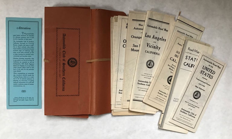
21 MAPS OF SOUTHERN CALIFORNIA. Los Angeles: Automobile Club of Southern California, [circa 1917-1938]. Twenty-one maps of Southern California. Sizes vary but these were maps meant to be used by motorists so most are large and detailed. The locales of the maps in this collection are: the United States, showing transcontinental routes and other main highways; state of California; Southern California; Southern section of California showing routes between San Diego, Imperial Valley, Blythe, Needles and Los Angeles; Imperial County; Los Angeles County; Los Angeles and Vicinity; Routes from the orange belt cities to the San Bernardino mountain resorts; Orange belt cities to San Bernardino mountain resorts (a different version); Orange County; Orange County (a later revised version); Pomona and vicinity; In and out of Redlands; Riverside County; Santa Barbara County; Santa Barbara and vicinity; San Bernardino County; San Diego County; In and out of San Diego City; San Luis Obispo County; and Ventura County. The maps are enclosed in the original ACSC accordion-style portfolio, with cloth ties. Most of the Association's maps are not dated. Some have the association's address "Figueroa Street at Adams," indicating the early preparation of a map, but not necessarily an indication of the earliest printing. Eventually the ACSC started putting dates in code on the title panels of the maps, but most maps with codes are later printings of a specific map published earlier. Determining the first printing of most ACSC maps is almost impossible. Nevertheless, the ACSC maps are a major primary source documenting the natural and man-made features of the California landscape from the teens to the 1950s. The maps are in fine condition. (#166808).
Price: $650.00
No statement of printing.