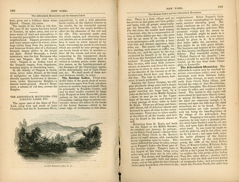
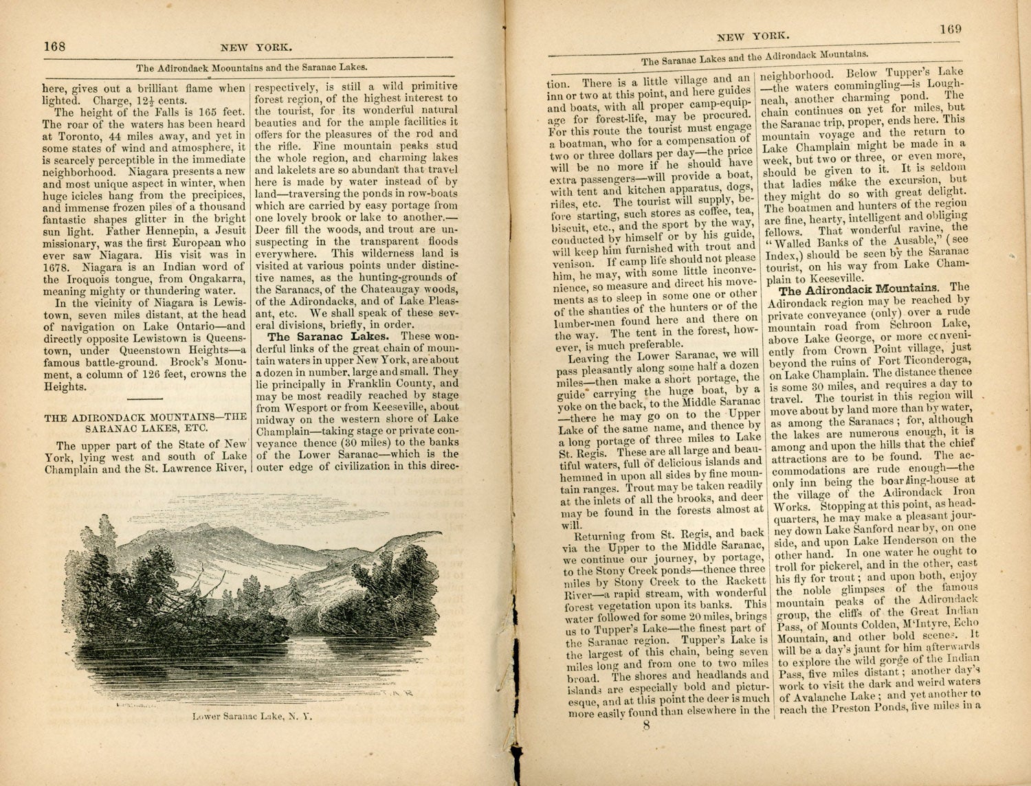
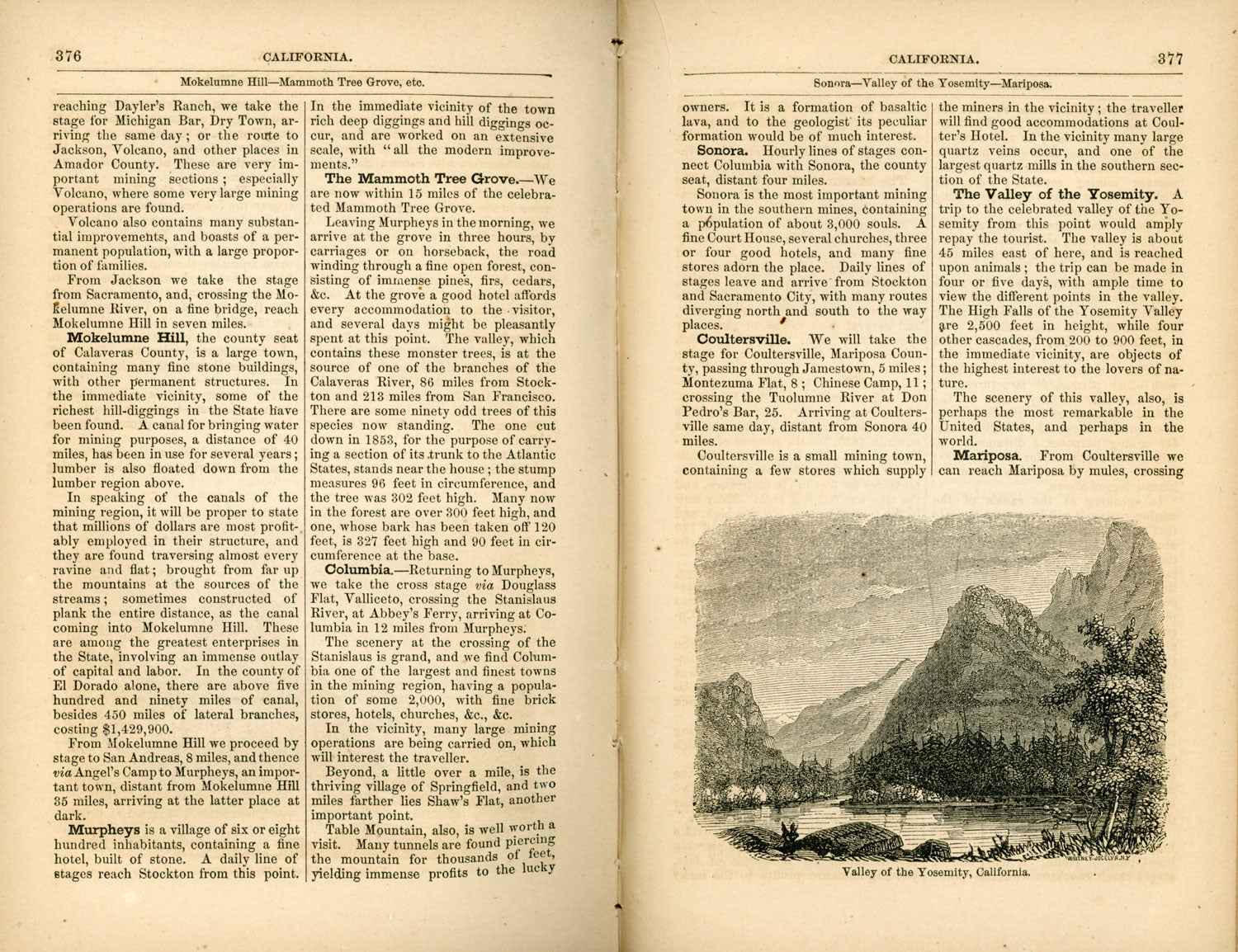
Appletons' illustrated hand-book of American travel. A full and reliable guide by railway, steamboat and stage, to the cities, towns, waterfalls, battle-fields, mountains, rivers, lakes, hunting and fishing grounds, watering places, summer resorts, and all scenes and objects of importance and interest in the United States and the British provinces. By T. Addison Richards. With careful maps of all parts of the country, and pictures of famous places and scenes from original drawings by the author and other artists. Engraved and electrotyped by Whitney and Jocelyn. New York: D. Appleton & Co., 346 & 468 Broadway. London: Trübner & Co., [1857]. 19.8x11.5 cm (12 mo), pp. [1-5] 6-12 [13] 14 -200 [201] 202 [203-204 [205] 206-209 [210: blank] [197] 198-398 [399-401] 402-405 [406: blank] [407] 408-412 [pages [407]-412: "the traveller's memorandum"] + [1] 2-24: ads, illustrations, 40 maps, some folded (four of which are colored), original flexible reddish-brown cloth, front and spine panels stamped in gold and blind, rear panel stamped in blind, brown coated endpapers. First edition. A landmark work. The most detailed and comprehensive American guidebook of its time, describing routes, scenery, settlements, and attractions, with considerable detail on California and the West. The section on California comprises pages 365-383. It has the first illustration of Yosemite Valley printed in a book (page 377). This work by Thomas Addison Richards (1820-1900), author and illustrator of travel books, landscape painter and art teacher, "could rival the later Baedeker in accuracy as to modes of travel and historical information. His text and drawings for the work formed the first complete guide of its kind for the United States and Canada. Richardson's [sic] scholarly tastes and enthusiasm for natural scenery may be considered the keynote of his artistic and literary career. Doubtless inspired by reigning taste in Romanticism, he endeavored to reproduce by word and brush the 'varying characteristics of the beautiful natural scenery of our country' and of Europe. As a painter of landscape he was considered the best of his time" (DAB). In addition to illustrations by Richards, "gifted brother artists" included T. A. Ayres to whom "we are much indebted ... for the careful account of California" (pages 365-383). In 1855 the Forty-niner Thomas A. Ayres drew the first pictures of Yosemite Valley. Sabin 70960. Inscribed by an early owner "W. C. Todd, / Aug. 1858" at top edge of engraved title leaf. Piece of cloth chipped from top edge of spine panel, some fading to cloth (as is usually the case), internally a very nice copy with maps in excellent condition. (#166824).
No statement of printing.