![(#167572) Automobile road from Los Angeles to Lone Pine via Mint Canyon - Mojave[.] Map service[.] Automobile Club of Southern California 2601 South Figueroa St. Los Angeles. AUTOMOBILE CLUB OF SOUTHERN CALIFORNIA.](https://lwcurrey.cdn.bibliopolis.com/pictures/167572.jpg?width=768&height=1000&fit=bounds&auto=webp&v=1682014724)
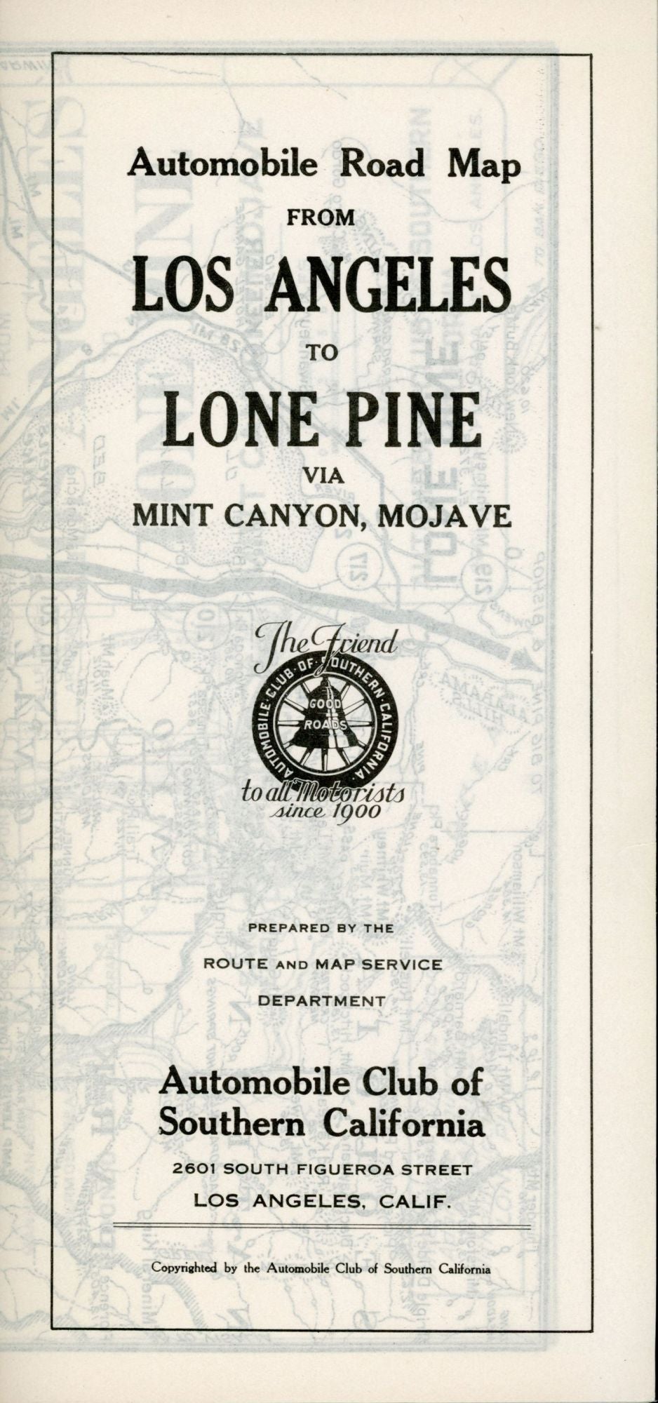
Automobile road from Los Angeles to Lone Pine via Mint Canyon - Mojave[.] Map service[.] Automobile Club of Southern California 2601 South Figueroa St. Los Angeles. Los Angeles: Automobile Club of Southern California, n.d. [Circa 1930s]. Eight-panel strip map, 24.5x92 cm (9 5/8 x 36 1/2 inches), folded to 24.5x11.5 cm ( 9 5/8 x 4 5/8 inches). Cover title reads: "Automobile road map from Los Angeles to Lone Pine via Mint Canyon, Mojave ... Prepared by the Route and Map Service Department[.] Automobile Club of Southern California 2601 South Figueroa Street Los Angeles, Calif. Copyrighted by the Automobile Club of Southern California." A detailed map that extends from Los Angeles north to Lone Pine, including the eastern High Sierra. The map includes useful information for both the traveler and the tourist, including the main highway (now highway 395), other roads, railroads, trails, rivers, creeks and streams, mountain peaks, towns and settlements, and service areas for motorists along the route. The map shows the Los Angeles Aqueduct extending from Owens Lake to the San Fernando Reservoir. Map signed in type "L. M. Brown" at bottom left. Title panel only printed on verso. Tiny tear in fore edge of front panel, else a fine copy. (#167572).
No statement of printing.