![(#167675) Guide map Yosemite National Park open all year 1936[.] United States Department of the Interior Harold L. Ickes, Secretary National Park Service Arno B. Cammerer, Director [cover title]. UNITED STATES. DEPARTMENT OF THE INTERIOR. NATIONAL PARK SERVICE.](https://lwcurrey.cdn.bibliopolis.com/pictures/167675.jpg?width=768&height=1000&fit=bounds&auto=webp&v=1682014624)
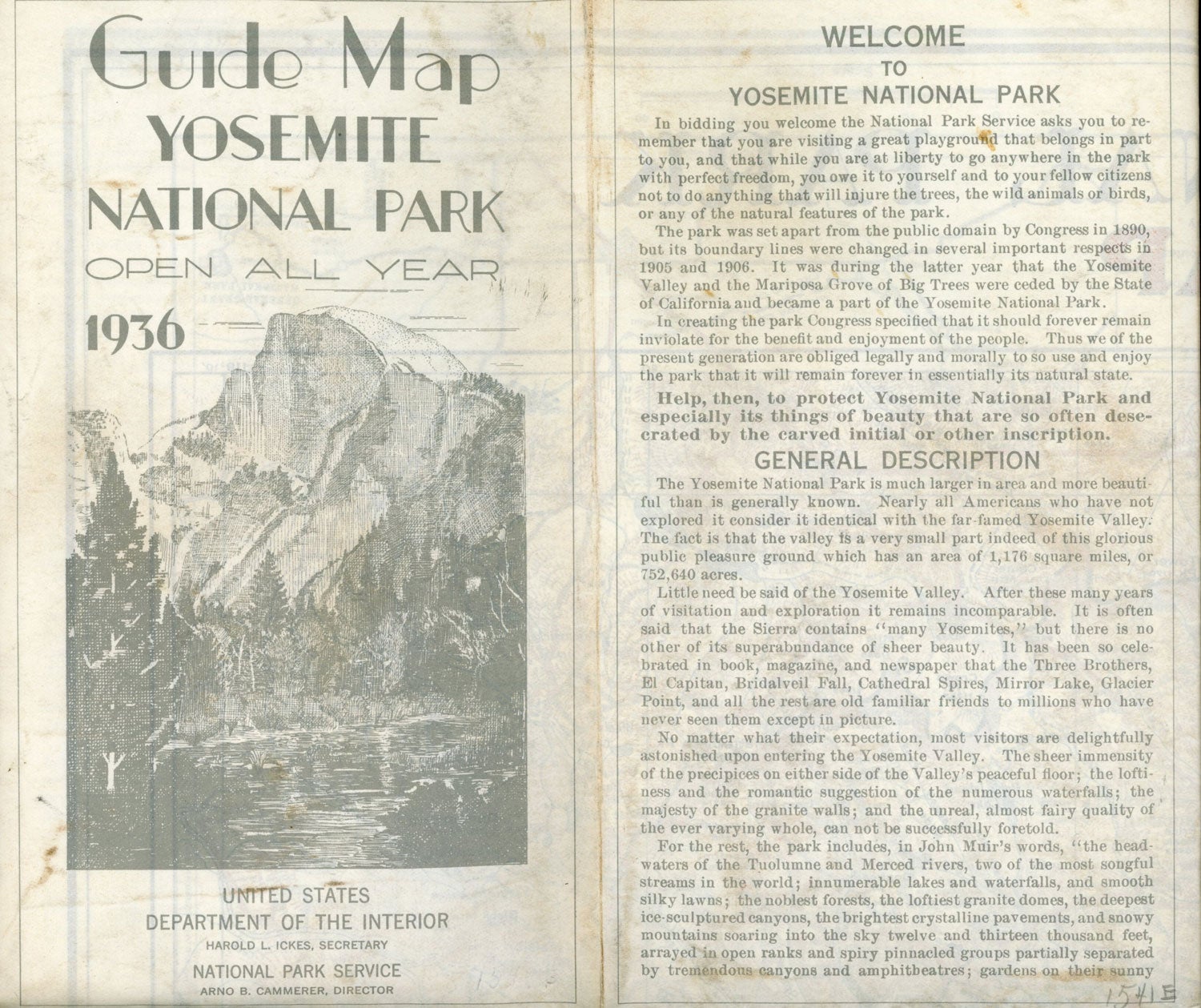
Guide map Yosemite National Park open all year 1936[.] United States Department of the Interior Harold L. Ickes, Secretary National Park Service Arno B. Cammerer, Director [cover title]. [Washington, D. C.]: Department of the Interior National Park Service, 1936. Folded map printed in red, yellow, purple, blue, brown, and black. Single sheet, 90x64 cm (35 1/2 x 25 inches), folded to make 40 panels, 22.8x13 cm (8 7/8 x 5 1/4 inches). The principal large-scale map is titled "Yosemite National Park Guide Map." Smaller maps are: "Map Showing All Routes to Yosemite National Park," "Approach Roads to Yosemite National Park" (a map showing western National Parks with principal connecting automobile highways) and "Yosemite Valley" (a map showing roads, tourist facilities and points of interest in Yosemite Valley). Recto is title panel and information for visitors captioned "Welcome to Yosemite National Park." Map "compiled & drawn by H. S. Teller -- March 1, '34." Imprint: "Printed by U. S. Geological Survey." Short closed tears at two intersections and several folds at edges, outer panels dusty, a good or better copy. (#167675).
No statement of printing.