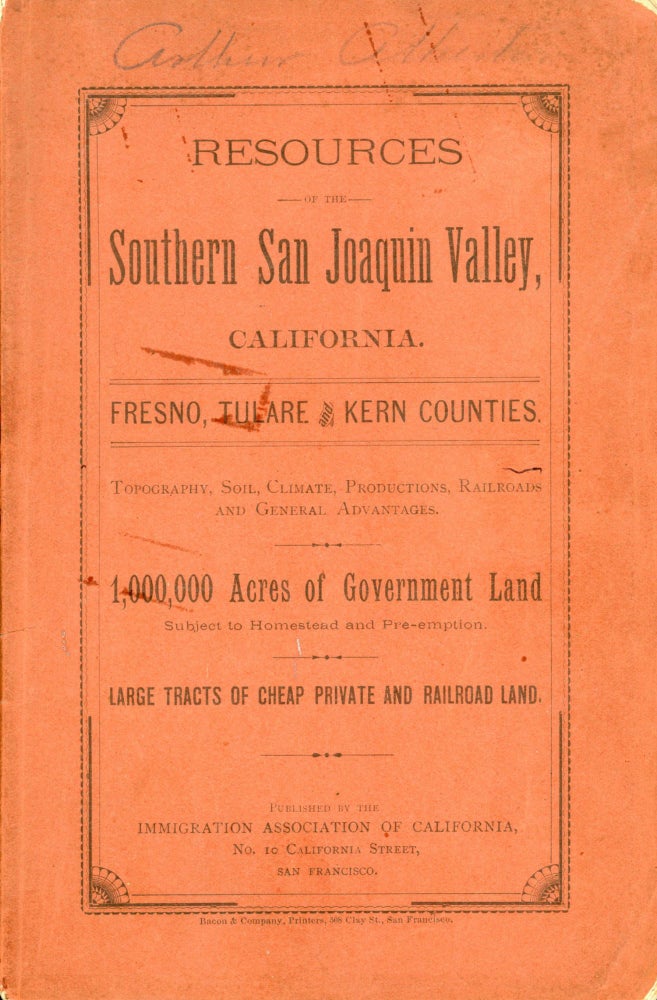
RESOURCES OF THE SOUTHERN SAN JOAQUIN VALLEY, CALIFORNIA. FRESNO, TULARE AND KERN COUNTIES. TOPOGRAPHY, SOIL, CLIMATE, PRODUCTIONS, RAILROADS AND GENERAL ADVANTAGES. 1,000,000 ACRES OF GOVERNMENT LAND SUBJECT TO HOMESTEAD AND PRE-EMPTION. LARGE TRACTS OF CHEAP PRIVATE AND RAILROAD LAND. San Francisco: Published by the Immigration Association of California, No. 10 California Street, n.d. [1885]. 22.8x15 cm, pp. [1-2] [1-3] 4-78, four folded maps, original terra cotta wrappers printed in black, sewn. First edition. Among the earliest extensive promotional pieces for California's Central Valley. The maps include a general map of California, and individual maps of Tulare, Fresno and Kern counties. The four maps are: "Map of California Showing Location and Comparative Area of the Counties of Fresno, Tulare and Kern Comprising the Southern San Joaquin Valley ... ," "Map of Tulare County compiled ... by F. J. Walker," "Map of Fresno County ... compiled ... by F. J. Walker" and "Map of Kern County ... compiled ... by F. J. Walker." Cowan (1933), p. 529. Rocq (1970) 16487. Streeter (1968) 2994. Three partial tape ghosts on front wrapper, tiny chips from spine ends and front corner tips, a few text leaves creased or dog eared at fore-edge corners, a very good copy. (#166782).
Price: $1,250.00
No statement of printing.


