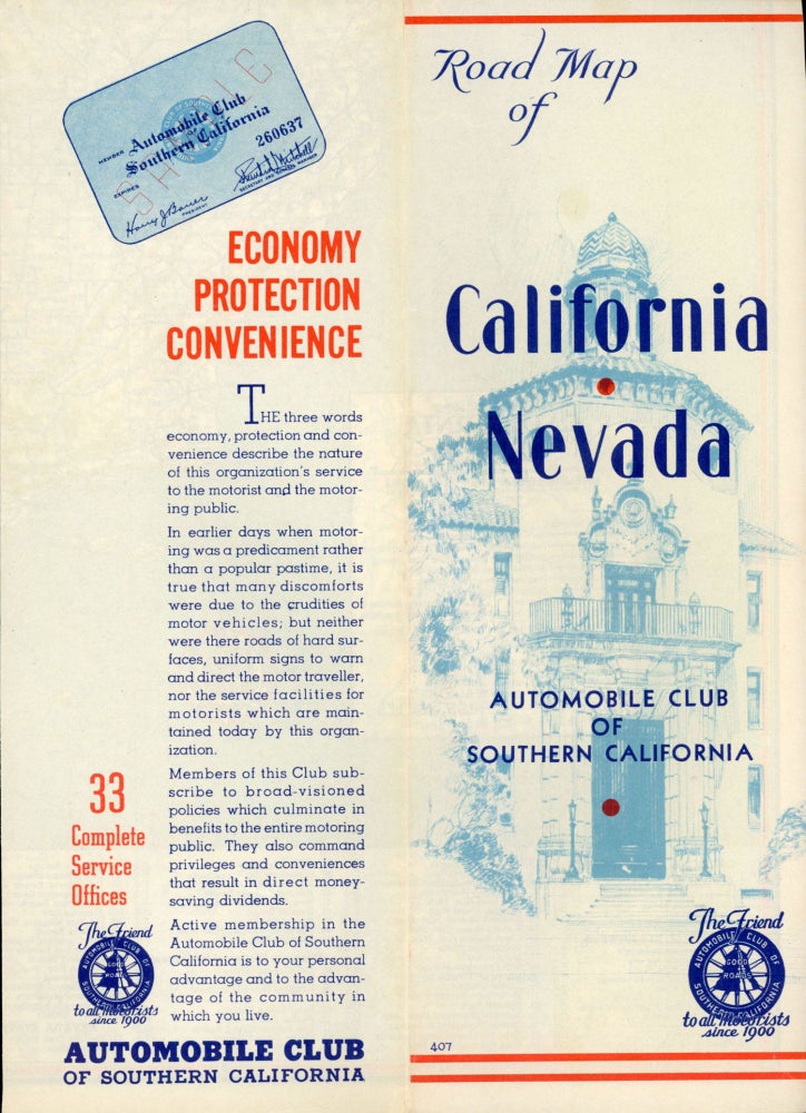
AUTOMOBILE ROAD MAP OF CALIFORNIA / NEVADA ... AUTOMOBILE CLUB OF SOUTHERN CALIFORNIA LOS ANGELES. 2601 SOUTH FIGUEROA STREET, LOS ANGELES. Los Angeles: Automobile Club of Southern California, n.d. [early 1930s]. Map, 54x38.6 cm (21 x 15 1/4 inches), folded to 27x9.6 cm (10 1/2 x 3 13/16 inches), printed in blue, red, green and black. Cover title reads: "Road Map of California / Nevada[.] Automobile Club of Southern California ..." Includes population of cities and towns, 1930 census, and a list of California, Nevada and Oregon state parks and "Monterey Historical Monuments." Among the types of roads shown are "other types" of roads ("make local inquiry") and "proposed or doubtful roads." Map number 407. Includes text and illustrations on verso. A fine copy. Not found on OCLC which reports a similar, probably later, version of this map. (#167706).
Price: $75.00
"Coming Soon"